Browse Items (453 total)
Sort by:
China-Kazakhstan Border
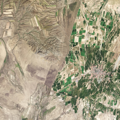
This satellite image from Nasa's Earth Observatory displays the stunning contrast in landscape along the border between China and Kazakhstan.
CO emissions in 2010
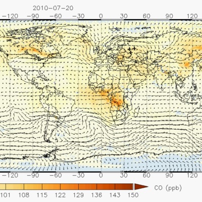
Data retrievals from the Atmospheric Infrared Sounder (AIRS) instrument on NASA's Aqua satellite. The gif depicts trace concentrations of carbon monoxide in the air at the time of the wildfires in Russia. The cloud of CO from the fires started over…
Coal Mine at Walbrzych, Silesia.
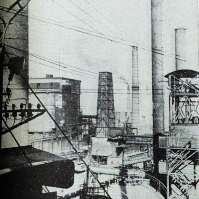
This image of coal mining in Walbrzych, Silesia (a town a little over 250 kilometers from Piekary, and belonged to the German territory that was given to Poland after the war) accompanied an article illustrating "Life in Silesia," specifically…
Coasting Into Asia
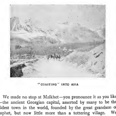
An illustration from the 1899 book by John Fraser, Round the world on a wheel
Collage of Caspian Sea
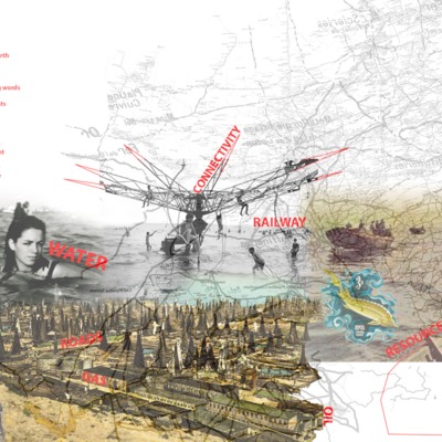
This collage depicts the Caspian Sea as per our lens of connectivity through the deployment of historical images, poems, and mapping.
Composite Map
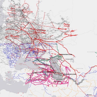
This composite map of the rail roads, caravan routes, shipping lanes and oil pipelines represents the myriad ways of moving through and around the Caspian Sea from the eighteenth century through the 21st.