
Browse Items (453 total)
Sort by:
Travels in Muscovy, Persia and part of the East-Indies ...
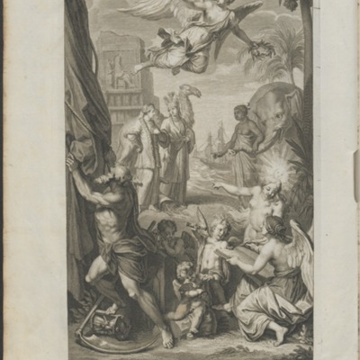
Cornelius de Bruyn's 2-volume work, "Travels in Muscovy, Persia and part of the East-Indies ..." (1737) details de Bruyn's extensive travels which took him from Moscow in 1703 to Isfahan, and from there on to Persepolis (1704). De Bruyn returned to…
Plan de la Ville d'Astracan
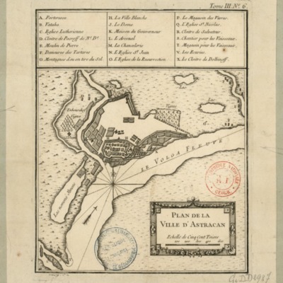
Map of the town of Astrakhan' by french cartographer Jean-Baptiste Croissey.
The Citrul or Water-Melon
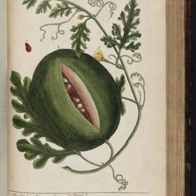
This is a botanical illustration of the water mellon (Citrullus or Anguria) taken from Elizabeth Blackwell's 1737 "A Curious Herbal," plate 157.
The Vine (Vitis vinifera)

This is a botanical illustration of the wine grape (Vitis vinifera) taken from Elizabeth Blackwell's 1737 "A Curious Herbal," plate 153.
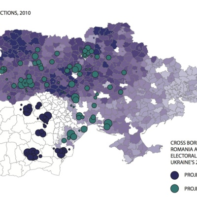
Black mulberry (Morus nigra vulgaris)

This is a botanical illustration of the black mulberyy (Morus nigra vulgaris) taken from Elizabeth Blackwell's 1737 "A Curious Herbal," plate 153.
Nova Maris Caspii et Regionis Usbeck

This is Isaac Maasa's 1735 map of the Caspian Sea, featuring the eastern shore, the Aral Sea and what were then the lands of the Uzbecks and Kalmykia on the northern edge of the Persian Empire.
Maris Caspii
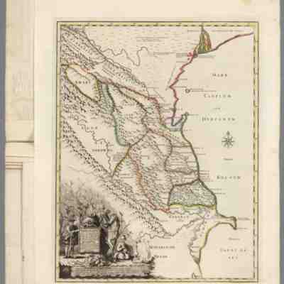
This is J. N. Delisle's 1728 map of the Caspian Sea, published in St. Petersburg as part of I. K. Kirilov's "Russischer Atlas" (1745).
Two views of Astrakhan'
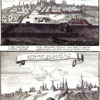
This illustration accompanies the second volume of N. Witsen's "Noord en Oost Tartarye" (1705). It offers two views of the city of Astrkahan', one of which foregrounds the city's vineyards.