
Browse Items (453 total)
Sort by:
Carte des pays de la Mer Caspiene
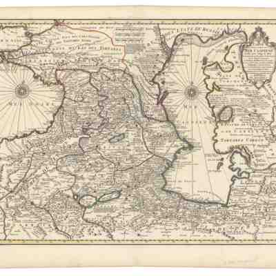
1 map, hand colored. 44 x 59 cm. Prime meridian: Ferro. This map Appears in G. Delisle's "Atlas nouveau, contenant toutes les parties du monde."
(Scale ca. 1:3,150,00)
(Scale ca. 1:3,150,00)
Carte marine de la Mer Caspienne
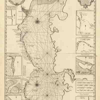
This map of the Caspian was created by Guillaume Delised and was based on recent information collected by Carl Vanverden in 1719, 1720 and 1721 at the request of tsar Peter I. The first map of the Caspian based on relatively accurate observations of…

Central Asian Flag Carrier International Flights

This is a map consolidating all the above route maps, showing the region-wide priorities. While connections to Moscow were maintained, new destinations like Istanbul and Urumqi acquired new importance. But the network of inter-Central Asia flights…
Central Asian Railroad Routes

Because railroad infrastructure is expensive and difficult to build, the Soviet-era network is still largely in place today, with new connections (between Kazakhstan, Turkmenistan, and Iran, for example) coming online only in the last year. The rail…
Central Moscow (1986)
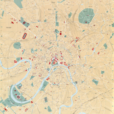
University of Texas Perry Castañeda Library Map Collection
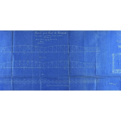
Chairmen of APOC.
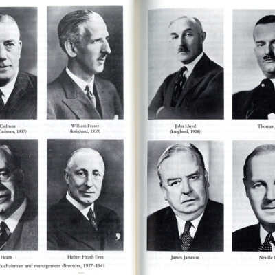
A quick look at the people in key positions of oil companies in the Middle East from the late 1800s to the early 1970s results in the same image across the board: white, middle-aged, Anglo-Saxon. While the initiatives of many of these oil companies…
Chernobyl Liquidators
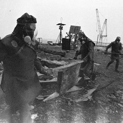
An archival photo of Chernobyl "liquidators" involved in the initial cleanup after the nuclear disaster. These particular responders are on the roof of Reactor Three. Note the distortion at the bottom of the photograph from the high levels of…