
Browse Items (5 total)
Sort by:
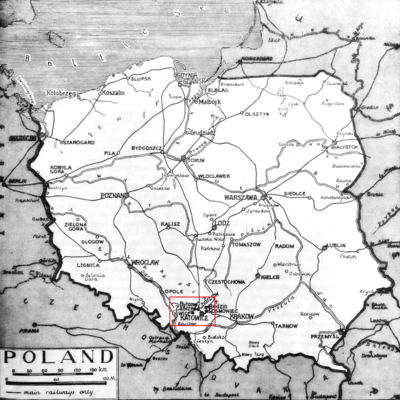
Map of Poland, 1939-1945

The boundary of Poland was redrawn again after World War II, with territories East of the Curzon Line, a huge part of the pre-war territory, given to the Soviets and German territory, East of the Oder and Nesse Rivers, given to Poland in reparation.
Iron Curtain
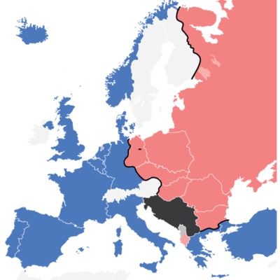
This map illustrates the "Iron Curtain" that divides countries of NATO and the Warsaw Pact
Gorbachev in Armenia
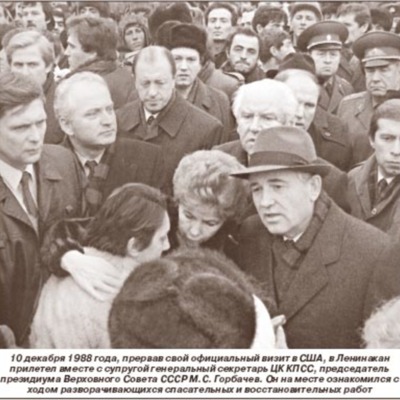
Newspaper account of Gorbachev's visit to Armenia in the wake of the 1988 earthquake. The picture depicts his visit to Leninakan (now Gyumri), the largest city involved in the Spitak earthquake disaster.
Gorbachev. Earthquake in Armenia.
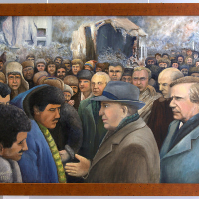
Painting of Gorbachev's visit to Armenia, capturing the mood of the crowd during the president's somber visit in the wake of the earthquake. Note the wreckage in the background.