
Browse Items (12 total)
Sort by:
Map of the Middle East

Map of Middle East.
The Dance of the Sisters
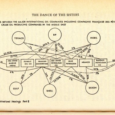
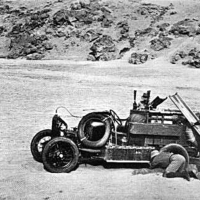
The process of mapping Middle Eastern geology in search for precious resources was quickly taken up by multinational corporations and specifically the ‘Seven Sisters’ who had claims most of the Middle East and it was these Seven companies that ruled,…
Abadan Bazaar Street
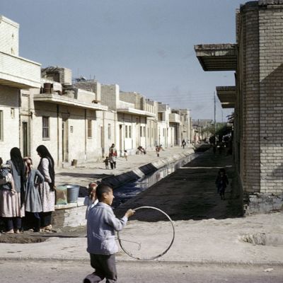
The locals in Abadan Bazaar Street in front of the row houses that were occupied with workers.
Lunch Time For Workers in Our Back yard
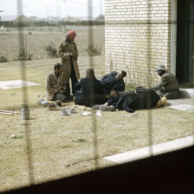
The images which was taken by Charles Schroeder depicts Iranian [? or local] workers in the backyard of Schroeder's house. It portrays the way in which the locals were seen as archaic and unsophisticated: they are having lunch on the dirt ground…
'Dutch Style' Bungalow in Bawarda.
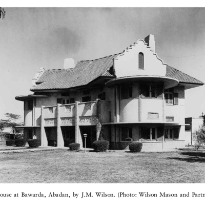
These houses which are designated for Senior European personnel were based on the 'bungalow' prototype which were set on large green lawns. They are typically surrounded by parks and gardens and each house was lined with English hedges. Unlike the…
Aerial View of Bawarda's Center.
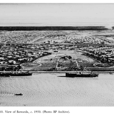
The city of Bawarda was designed by James M. Wilson in 1926 and was inspired by Lutyens’s remodelling of the Garden City and City Beautiful ideas in New Delhi (1911–1940). Bawarda was an attempt at social and ethnic mixing and also offered larger…
Plan of Bawarda.
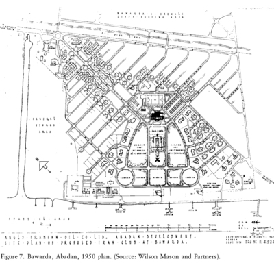
The city of Bawarda was designed by James M. Wilson in 1926 and was inspired by Lutyens’s remodelling of the Garden City and City Beautiful ideas in New Delhi (1911–1940). Bawarda was an attempt at social and ethnic mixing and also offered larger…
Aerial view of the Garden Suburb of Bawarda.

"‘Since the War’, Wilson reported, ‘a very great and widespread spirit of Nationalism has been introduced and fostered throughout the Middle East. . . Though the Company probably incurs less of this [jealousy] than the
political services do…
political services do…
House in Braim

The houses in Braim were based on the Garden City ideal and the planner of the city, James M. Wilson. The are of Braim was also known as the 'bungalow area' and housed the British personnel and was located south-west of the refinery area. It was also…